
10 July 2018
Last updated at 08:43
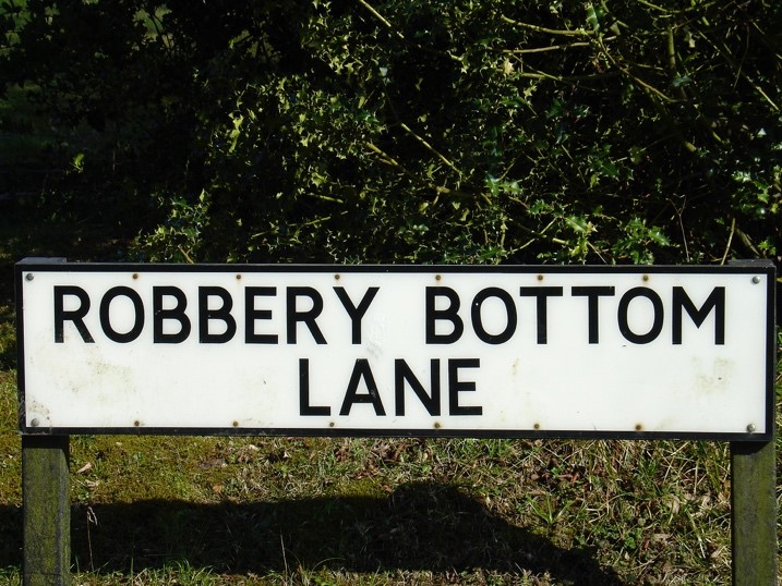
Robbery Bottom Lane. That’s my favourite road name in Hertfordshire. It could have been Bread and Cheese Lane where I played as a child but at that age it didn’t really seem that odd a name to me. Now I am at Gresley Close, named in honour of Sir Nigel the locomotive engineer and designer of The Flying Scotsman and Mallard, presumably as the land was formerly railway sidings located just north of Digswell Junction Cottages. A nicer choice of name than The Sidings maybe but both give an indication as to the past use of the land on which the property has been built. So, should I be concerned that my current locale was once potentially contaminative in nature?
I doubt the residents of Robbery Bottom Lane are concerned that they may get flagged down to the call of “Stand and deliver!” when they return home of an evening. However, maybe we should pay greater attention to a road name before we purchase that dream property just as environmental consultants at Groundsure use the names as an aid when assessing reports that they provide for conveyancing solicitors acting on our behalf.
Tanners Crescent, The Tannery, The Foundry, Works Road and several Mill Lane’s are built on potentially hazardous historical land uses but the information available to the consultants enable them to verify the remediation and safety of such sites for the prospective purchasers.
There are five Watery Lane’s in Hertfordshire. Flood data modelled by Groundsure confirms that this is a reflection that in all five of these locations the chance of a flood event is considered High with a High Groundwater and Surface Water rating.
Chalkdell Fields, Chambersbury Lane, Sandpit Road, and Gravelly Lane all hark back to our extensive mineral extraction legacy within the county. However, the recent sinkhole events at Oatridge Gardens and Fontmell Close and the historical chalk mines in Highbarns and Chantry Lane give no clue via the name to what lies beneath. Fortunately ground stability searches within an environmental report or a specialist ground and mining risk assessment via Terrafirma help identify and translate historical ground risks into clear, accurate and reliable advice.
And so, it shouldn’t really come as much surprise that those leafy homes in Mardley Wood, The Dell, Copse Hill and Woodland Way are subject to a Tree Preservation Order. Similarly, the picturesque hamlets of Letty Green, Tea Green, Peter’s Green, Ayot Green and Burnham Green as well as the pretty pockets of green at Shephall Green, West Common, East Common and North Common have properties with a lovely outlook but also potential problems with access rights across a Village Green or Common Land. But at least you can freely graze your livestock . . .
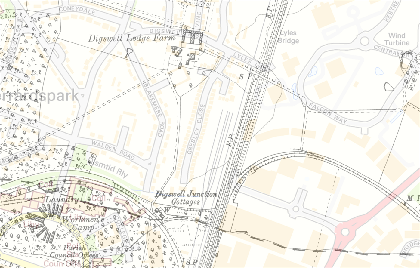
Groundsure overlay of current Welwyn garden City street network with 1922 land uses
Let’s not forget the Wallbank’s Case that set a precedent for the Chancel ‘industry’ was centred around their property named Glebe Farm in Aston Cantlow. Beware residents of various Glebe thoroughfares . . .
Similarly, there may be planning restrictions in locally historical sites. Designated areas in the vicinity of Verulamium in St Albans can be considered subject to archaeological sites where planning permissions may be subject to a recording condition. Again, this local plan information is flagged up with planning reports offered by Groundsure. Prae Close is tucked in close to Verulamium and not too far away are Augustus Close, Claudian Place, Flavian Close, Lindum Place and Antonine Gate – all as homage to the Roman past of this area. Similarly, though less well known, are the thoroughfares of Minerva Close, Neptune Gate, Jupiter Gate, Gordain Way, and Fortuna Close in the Chells area of Stevenage – all reference to the extensive Roman find in 1986 before residential development.
Of course, a simple name doesn’t tell the whole story and the lapse of local history over generations together with our increasingly transient nature as homeowners means that we can be less informed as to the former land use of our personal corners of this green and pleasant county. But the experts are on hand so that whilst the residents of Robbery Bottom Lane can rest easy in their carriages, the rest of us should be happy knowing that historic and current information is available to set our minds (and those of our mortgage lenders) at ease.
 Nick Wild is the Director of PSG Hertforshire and Bedfordshire. PSG provide an array of information from Local Authority searches, Environmental, Planning, Mining and Subsidence reports, Common Land and Village Green enquiries and copies of Tree Preservation Orders. You can contact them directly at nickwild@propertysearchgroup.co.uk.
Free samples are available to all HLS members!
Article originally published in the Herts Law Soicety Journal July 2018
No events were found.